Geographic Information Systems (GIS) are used for everything from traffic mapping and planning flight paths to plant identification and weather forecasting. The set of tools for collecting and/or mapping data have become indispensable within a wide range of industries, including real estate, urban planning and utilities. But few professions rely more heavily on the power of GIS than natural resources and conservation.
“I don’t know of any natural resource professional who does not know how to use GIS,” says PEI’s Green Jobs Coordinator Chelsea Trout. “It’s highly applicable to a lot of jobs.”
ArcGIS is a suite of software and services that allows users to work with geographic data. Key features include mapping and visualization, data management, analysis, collaboration and sharing. Survey 123 is a type of software within ArcGIS that allows users to tell it what data they want to collect and map the data it finds. “For example, if you’re teaching students to do plant identification and you have a certain species that you know is going to be in a certain area, you can put that information into Survey 123 and have the students go find those plants at that site,” Trout explains.
“This is the best training I have been to in a long time. FieldSTEM training of any kind not only gives me tools for the YESS program but for all my science teaching. It’s all valuable, hand-on learning to pass on to my students.”
– Workshop Participant
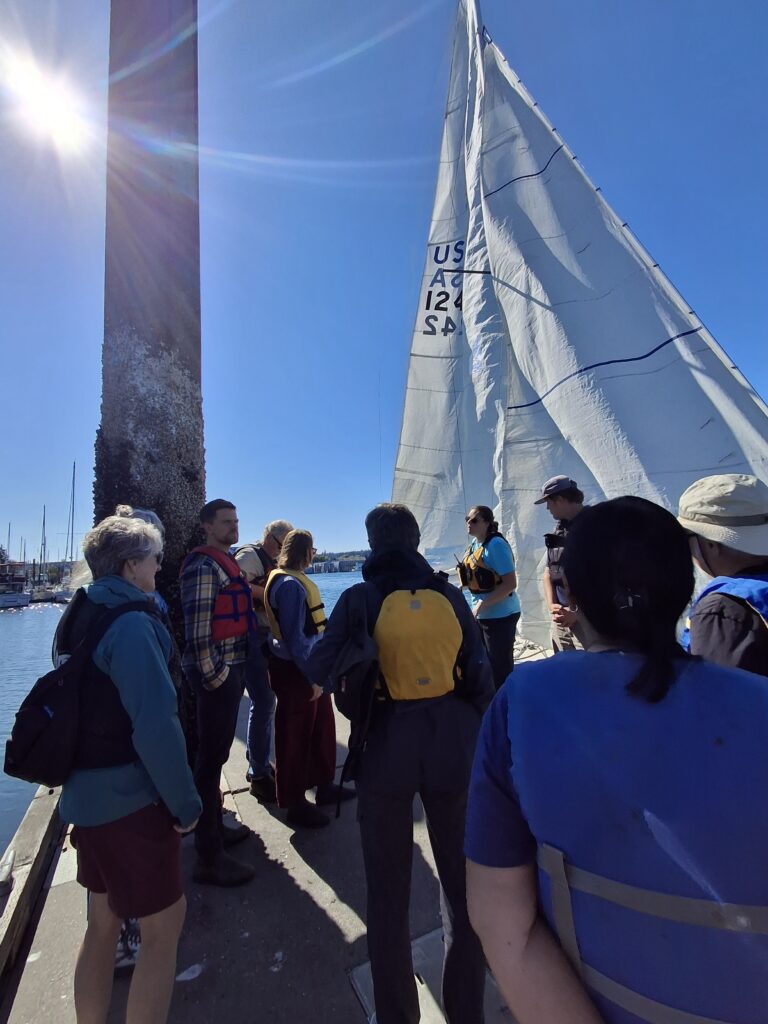
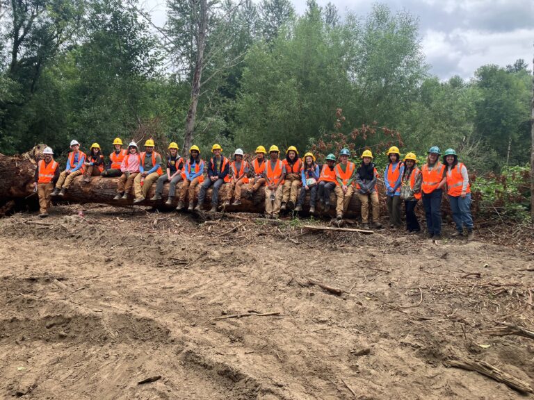
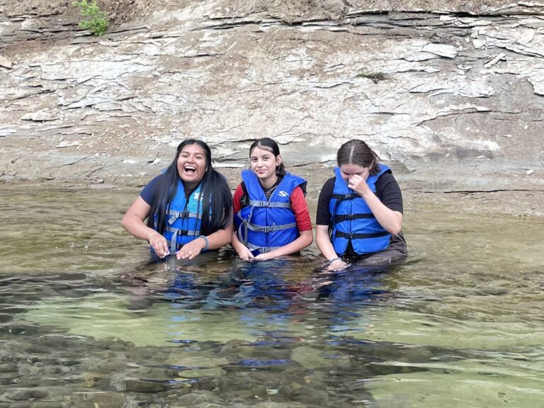
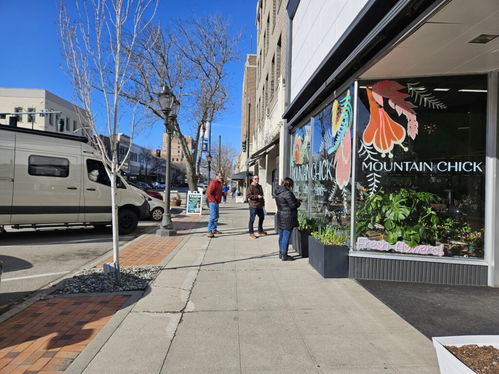
In February, seven teachers from throughout Washington joined the ranks of those trained in this flexible technology. They attended a two-day, in-person Career Connected Learning workshop at the Community Foundation of North Central Washington to learn the intricacies of GIS. Most if not all of the participants will participate in PEI’s Youth Engaged in Sustainable Systems (YESS) programs this summer, guiding high school students through an experiential six-week course in restoration ecology, forest management, or water resources management.
“This is the best training I have been to in a long time,” one teacher reports. “FieldSTEM training of any kind not only gives me tools for the YESS program but for all my science teaching. It’s all valuable, hand-on learning to pass on to my students.”
Trout and PEI’s Mid-Sound FieldSTEM Coordinator (and resident GIS expert) Daniel Cuevas facilitated the training. They introduced the technology through a step-by-step experiential process that made it accessible for participants. “Having a hands-on approach to the introductions and making errors was essential to learning the mapping systems and techniques,” says another participating teacher. “I cannot recommend this class enough for the future teachers interested in YESS.”
Cuevas was gratified to see significant shifts in confidence by the end of the workshop. During one exercise on the second day, they were covering advanced information that would normally take a few weeks to learn, with each new challenge becoming progressively more difficult. Cuevas gave participants the option of simply following what he was doing using the data set he provided or creating their own. “A lot of people made their own surveys and data, which surprised me,” he says. “I thought it was awesome, because it showed their confidence. There were light bulbs going off.”
One teacher told Cuevas and Trout that the training had led to a breakthrough with an aspect of ArcGIS she’d been struggling with for a long time. “Now that she knows how to do this one step, it will further her GIS work with her students,” Cuevas says.
A key aspect of ArcGIS is its accessibility. ArcGIS Online doesn’t require any software download and includes other programs like Survey 123 in its suite of options. “We’ve had teachers who were worried about the technology barrier, but it’s really user friendly,” notes Trout. “There is no big program cost which makes it highly accessible for schools.”