California has one.
So does Virginia.
But when Sageview High School science teacher Amanda Helland went looking for a Career and Technical Education (CTE) framework for teaching Geographic Information Systems (GIS) in Washington State, she came up empty. “GIS has always been embedded into other courses,” says Helland, who teaches ecology, climate science, geology and environmental science in the Pasco School District. “I didn’t know how to go about the process of creating a framework, so when I heard about a GIS statewide writing team I was immediately interested.”
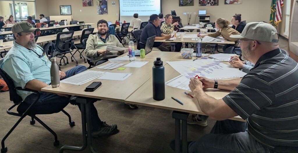
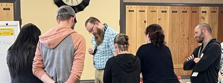
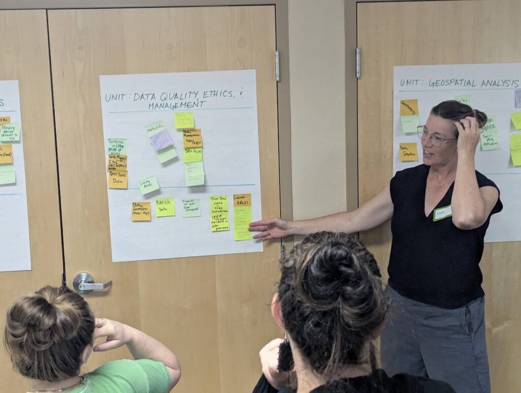
In May, Helland joined Pacific Education Institute (PEI) and fifteen professionals representing K-12 education, industry, Washington State University, and Tribal education and natural resources for a two-day, in-person writing workshop hosted by Educational Service District 105 in downtown Yakima. Their purpose: to develop Washington’s first career-connected GIS CTE course framework informed by statewide GIS workforce trends, existing GIS-related high school and post-secondary courses and programs and input from Washington GIS education and industry professionals.
GIS are a set of tools for collecting and mapping data and are used in a growing number of industries. The demand for graduates with GIS skills is currently outpacing supply, according to PEI’s GIS State Project Specialist Daniel Cuevas. “There is definitely a need from industry,” he notes, “but it’s not being offered much at a non-collegiate level.”
“I learned that I wanted to add to my course based on what the industry says, and I think it opened the industry people’s eyes to the complications that exist in education,” says Hamilton. “We have to get these things lined up so that our kids are prepared to enter those jobs in the workforce.”
— Rick Hamilton, Newport High School Science Teacher
Newport High School science teacher Rick Hamilton is an exception. He teaches biology, computer science, robotics and a GIS class. “Any time I bring up the fact that I introduce students to GIS, people in meetings with the Department of Fish & Wildlife get really excited,” says Hamilton, another member of the writing team. “They all say their departments need people with those skills.”
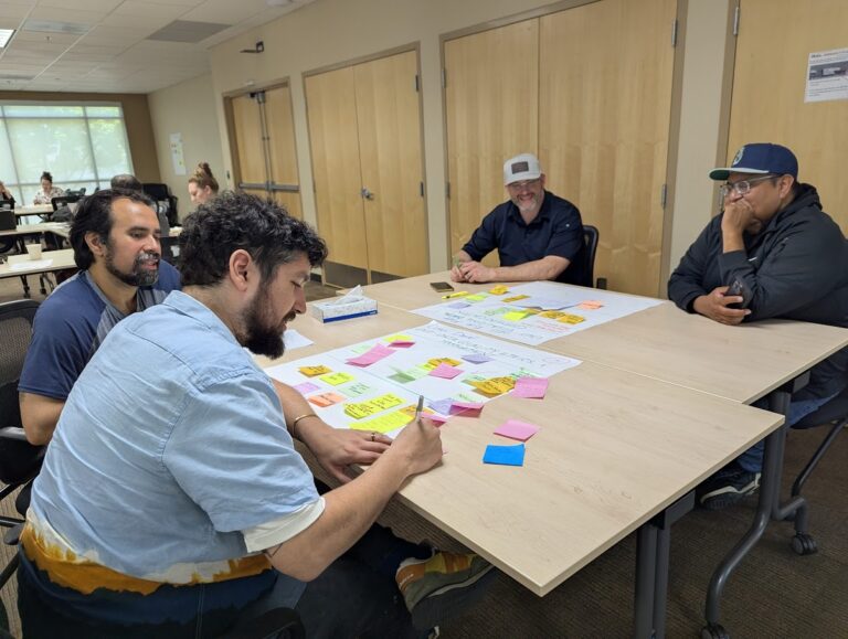
The team engaged in robust discussions about GIS, completed a GIS scavenger hunt that Cuevas designed using Survey 123 and heard from a panel of professionals about how they employ GIS daily. Learning directly from those in the field was valuable, says Helland. “Teachers can have a specific point of view,” she explains. “Seeing people who are actively using GIS outside of education is really important, because most kids are not going to be using it in an educational setting. It was helpful to understand what professionals want new employees to know.”
Having so many perspectives represented led to lively discussions that often continued straight through scheduled breaks. “Bringing together professionals who use GIS in the field with educators sparked a lot of wonderful conversations and collaboration around how to build student skills, not only technically but conceptually,” says Cuevas.
“I learned that I wanted to add to my course based on what the industry says, and I think it opened the industry people’s eyes to the complications that exist in education,” says Hamilton. “We have to get these things lined up so that our kids are prepared to enter those jobs in the workforce.”
Hugo Moreno is the Career Readiness Coordinator at Educational Service District 105 in Yakima. He collaborates regularly with PEI’s Associate Director of Green Jobs, Heather Spalding, to support career pathways in the agriculture and natural resources sector and
CTE programs within his region. Moreno joined the writing team to bring information back to the teachers and staff he serves. “It’s valuable to learn these things and be able to communicate them to teachers and CTE directors,” he says. “Ultimately, students will have more exposure to these skills that show up across so many fields.”
Typically, individual school districts develop their own CTE frameworks, which limits accessibility and relevance for students and teachers outside those districts. Having a free, statewide framework available matters in places like ESD 105, Moreno maintains. “Especially in our region, a lot of students live in very small, rural communities that don’t always have access to these types of classes because they don’t have the staffing at the district to develop them on their own. Also, they don’t have industry connections needed to understand how these skill sets actually impact the workforce. Once these frameworks are approved, I’m looking forward to connecting with our districts and making sure they’re able to offer these courses to our students.”
Helland is already in talks with her CTE director about implementing the new frameworks in the 2027-28 school year. “This was a great experience,” she says. “We worked really well together and were able to come together with different perspectives and create something new. I’m glad I got to be a part of it.”
With the draft created by the in-person workshop, PEI will align content with GIS-related CTE program standards, Next Generation Science Standards (NGSS), and standards in social studies, Since Time Immemorial (STI), Agriculture, Food and Natural Resources and 21st Century Leadership Skills. The course will align with existing statewide GIS Industry Recognized Credentials (IRCs) that align with the frameworks.